|
|
|
|
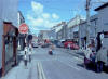
O'Connell Street
A view down O'Connell Street I took in the mid 1980's from Harmony Hill |
|
|
|
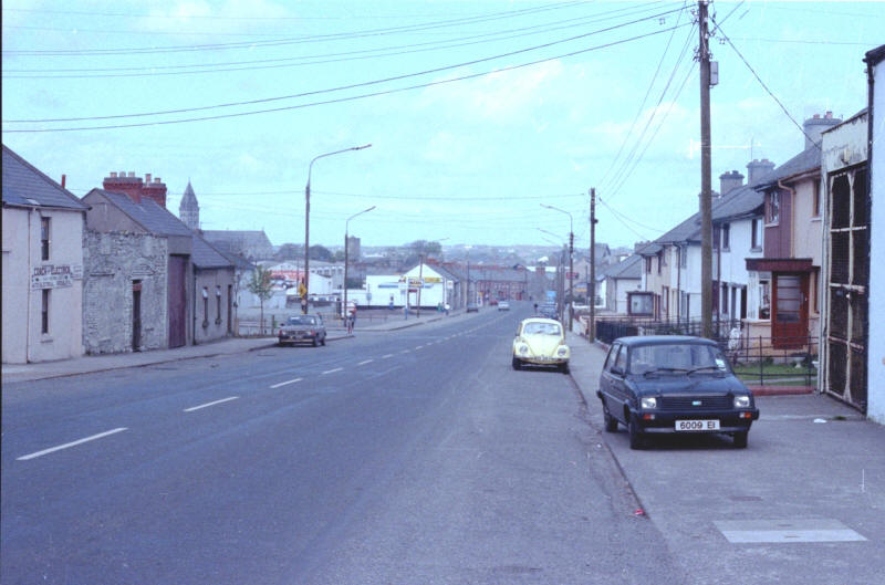
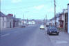
Mail Coach Road
Mail Coach Rd, one of the main streets into town from the south. On the left in the distance you can see the spire of the Cathedral of The Immaculate Conception which sits across from the Bishop's residence. |
|
|
|
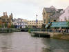
Garavogue River
The banks of the Garavogue River have been converted from derelict warehouses to a beautiful area full of cafes, shops, and restaurants. |
|
|
|
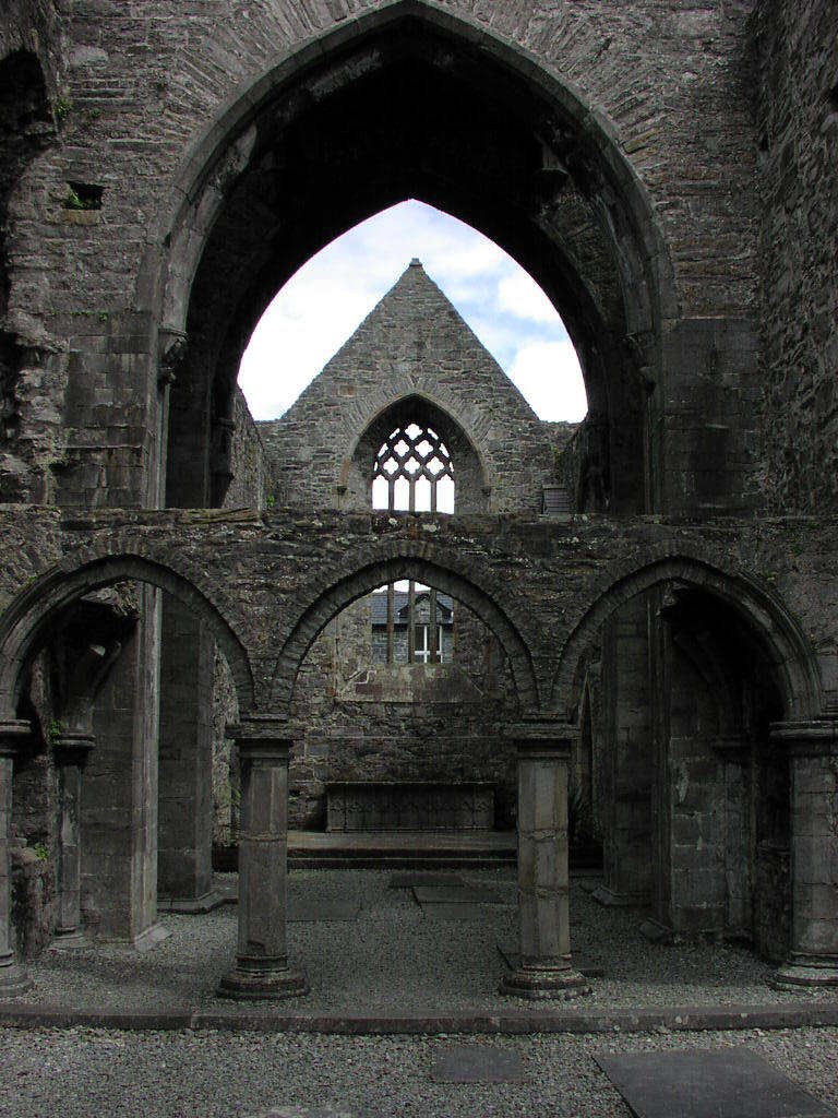
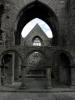
Sligo Abbey
Sligo Abbey (the Dominican Friary of Sligo) was founded in 1253 by Maurice FitzGerald, Baron of Offaly. The Abbey has had a turbulent history, having been destroyed by fire in 1414, gutted during the Tyrone War of 1595 and attacked during the Ulster Rising of 1641. Despite this, friars continued to inhabit the abbey until the 18th century. |
|
|
|
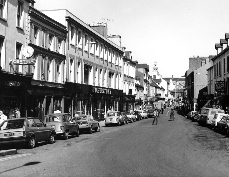
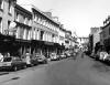
Sligo Town
This black and white photo was probably taken in the late 1970's and was provided by the Sligo Tourist Office.It shows a different perspective of O'Connell St. |
|
|
|

|
|
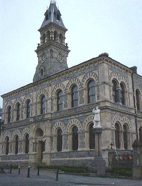
Sligo Town Hall
Started in 1985 and built on the site of a Cromwellian Stone Fort which dated back to 1646, the Town Hall took seven years to complete at a cost of £5,000. |
|
|